

RainReady Riverdale
The Riverdale Steering Committee will use green infrastructure practices to dry and beautify the Village, spurring economic, recreational, and community development.
Resilience Opportunities
In 2017, plans will move forward to separate the sewer in northeast Riverdale, helping to reduce flooding that has plagued the neighborhood for decades. Regional agencies have partnered to find a new owner for the granary site who could clean up the area, better manage stormwater at the site, and establish a new job center for area residents. These and other steps aimed at helping homeowners reduce their flood risk lay the foundation for Riverdale’s RainReady future.
In its earliest days, the Village of Riverdale was known as a final stopover on the Underground Railroad. After the turn of the century, the Village began its rise to prominence as a manufacturing hub, providing jobs to residents throughout the region. Riverdale’s population boomed in the 1960s, increasing from 1,500 to 12,000 in just 20 years. The Village’s industrial legacy lives on through extensive rail assets and light manufacturing.
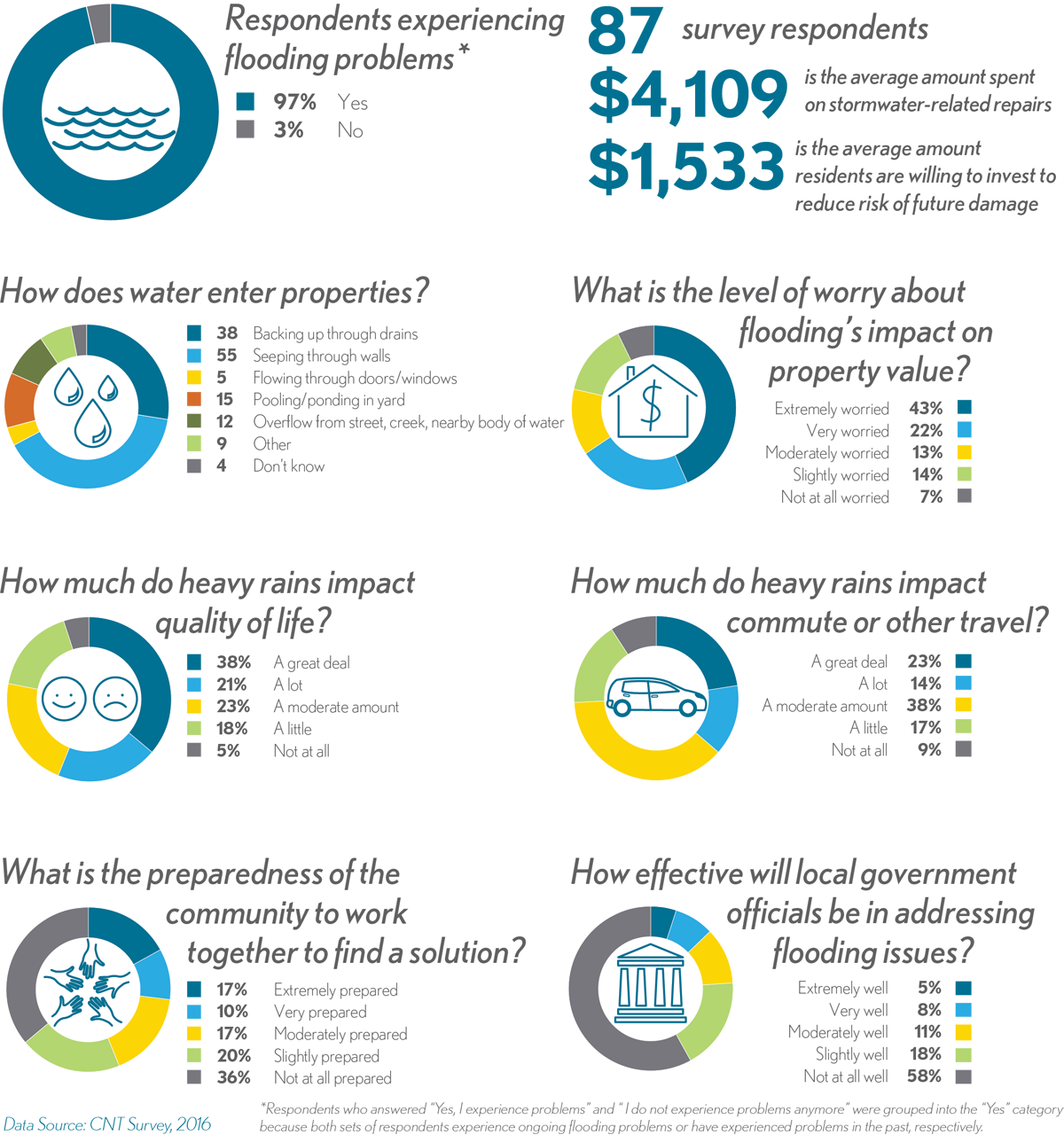
Like many of its neighbors, Riverdale has been plagued by chronic floods for years. From 2007 to 2011, 3,362 flood-related insurance claims were filed in the 60827 zip code, with more than $8,073,673 paid out in damages. Residents suffer a mix of basement backup, street and yard flooding, and foundation seepage.
Riverdale Steering Committee
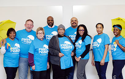
Community leaders joined together in 2016 to form the RainReady Riverdale Steering Committee. The Committee will work to implement the RainReady Riverdale Plan by building on ongoing beautification and economic development efforts. They are committed to investment in infrastructure improvements, improved transportation assets, complete streets, and community gardens across the Village. The Committee wants to preserve Riverdale’s natural areas and bring new life to vacant areas. They are motivated to raise employment rates, increase the availability of healthy foods, and create more retail with TOD areas and infill. The Committee will also work to open lines of communication throughout the community.
What We’ve Found
Residents report flooding across town, and say they are ready to take action to address it!
RainReady Solutions
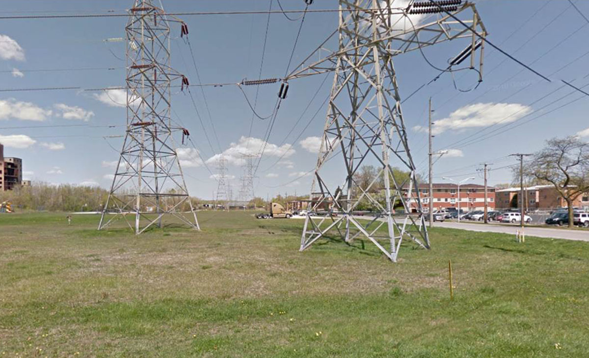
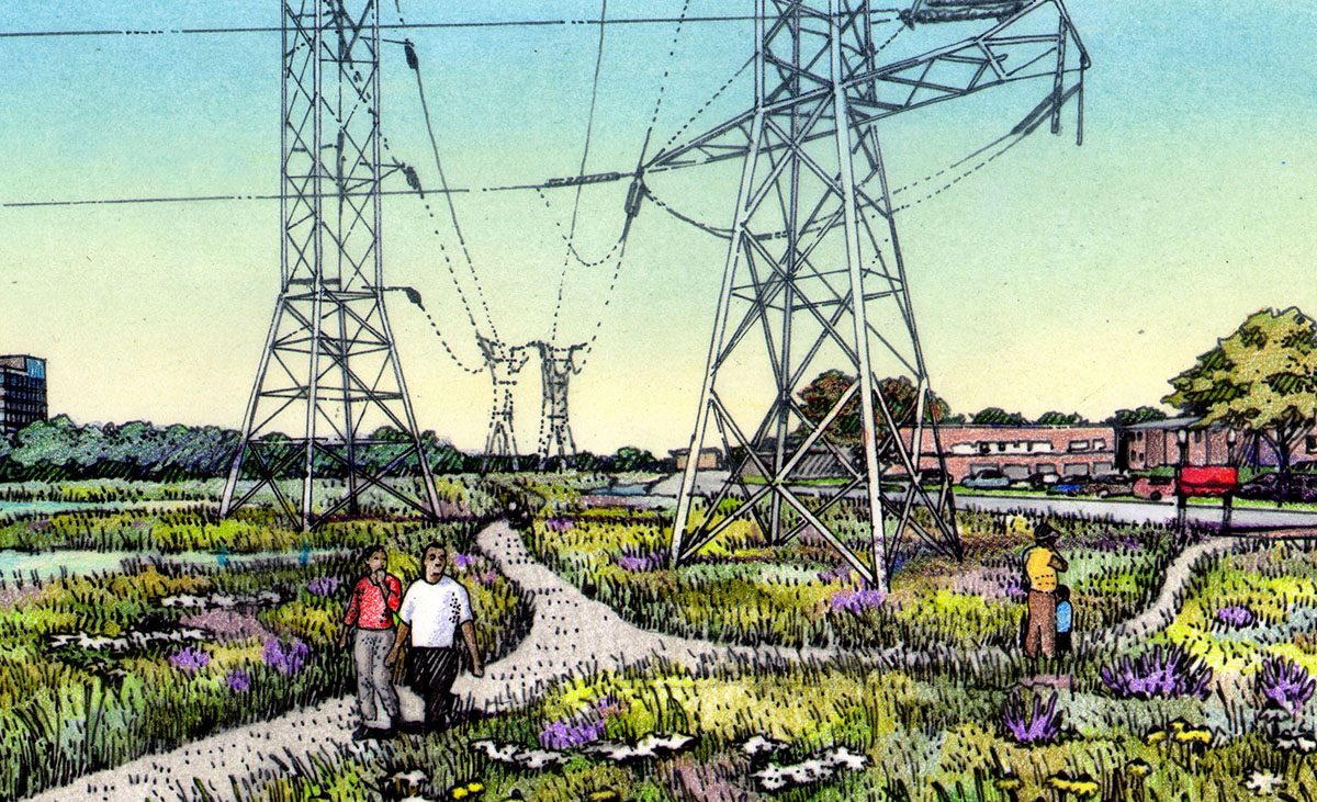
What would a RainReady Riverdale look like?
NORTHEAST NEIGHBORHOOD
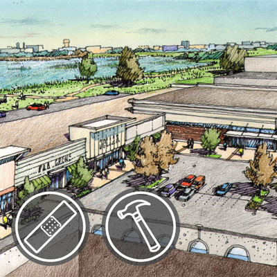
In 2017, plans will move forward to separate the sanitary sewer from the stormwater sewer in northeast Riverdale. The project area is defined by the Metra tracks, East 140th Street, the municipal border, and the Little Calumet River. Nearby residents located outside the project area can also expect some relief from the new system.
For decades, even small storms have overwhelmed the combined sewer system, causing basement backups. Establishing separate sewer systems will reduce the frequency of flooding. This project has been fully funded by Cook County for $7.4 million. Construction is expected to begin in 2017.
THE CAL-SAG TRAIL
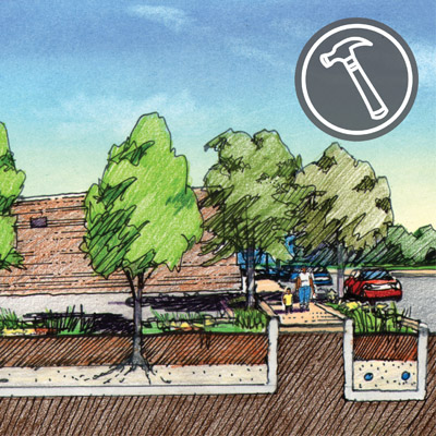
When the Cal-Sag Trail comes to town, a whole host of new opportunities for economic development, recreation, and stormwater capture will accompany it. Residents and local leaders should work together to make sure the project includes green infrastructure like bioswales, permeable pavement, vegetated swales, and tree plantings, which will help alleviate local flooding issues.

OPEN LAKE RIVERDALE
Plans are in the works to clean up Lake Riverdale and open the 75 acre site for recreational use. The vision includes new opportunities to get outside for a picnic, a walk, birding, and biking. It could even connect to the forthcoming Cal-Sag Trail, opening up a vast network of outdoor play!